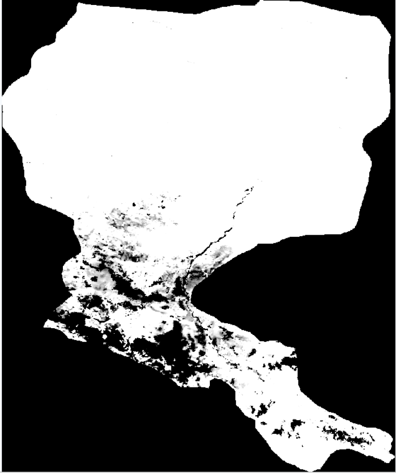
黑河流域地表蒸散发数据集(2001-2010)

基于遥感地表蒸散发模型ReDraw模式制备的近地表大气驱动数据估算了黑河流域2001-2010年逐月地表蒸散发。坐标系统为经纬度投影,空间范围为:96.5E–102.5E, 37.5N–43N。数据格式为GEOTIFF。
Copyright & License
数据以栅格Geotiff格式存储,文件年为文件夹形式存储,文件名称”mon_etmm.tif“其中mm为月份,例如mon_et1.tif为1月的地表蒸散发数据。</p><p>数据读取方式:可以用Arcgis、Qgis等软件打开读取。
Data Citations
Cite as:Wang, Z. (2015). < b>The evapotranspiration data in the Heihe River basin (2001-2010)</b>2015. doi: 10.3972/heihe.1023.2015.db. (Download the reference: RIS | Bibtex )
Using this data, the data citation is required to be referenced and the related literatures are suggested to be cited.
Terms of Use
为尊重知识产权、保障数据作者的权益、扩展数据中心的服务、评估数据的应用潜力,请数据使用者在使用数据所产生的研究成果中(包括公开发表的论文、论著、数据产品和未公开发表的研究报告、数据产品等成果),明确注明数据来源和数据作者。对于转载(二次或多次发布)的数据,作者还须注明原始数据来源。
Support Program
None
Related Resources
3.The leaf water potential dataset in the downstream of the Heihe River Basin (2012)
6.HiWATER: the albedo in the middle reaches of the Heihe River Basin (Jun. 29, 2012)
7.Grassland interception dataset of Tianlaochi watershed in Qilian Mountain
8.Datasets for the SWAT model in Heihe Rriver Basin
9.Thematic analysis data of Murray Darling basin Research in Australia (1912-2012)
No record
No record
Comments
Sign In to add comments
Keywords
Geographic coverage
| Spatial coverage |
East:102.5 South:37.5 |
West:96.5 North:43.0 |
|---|
Details
- Temporal resolution: Monthly
- Format: 栅格
- File size: 1350.0 MB
- Browse count:10440
- Temporal coverage:2001-01-13 To 2011-01-12
- Access: Offline
- Updated time:2021-04-19
Authors
Resource Provider: WANG Zhongjing

 Copyright ©right; 2017 - 中国科学院西北生态环境资源研究院 - 兰州数云软件科技有限公司提供技术支持