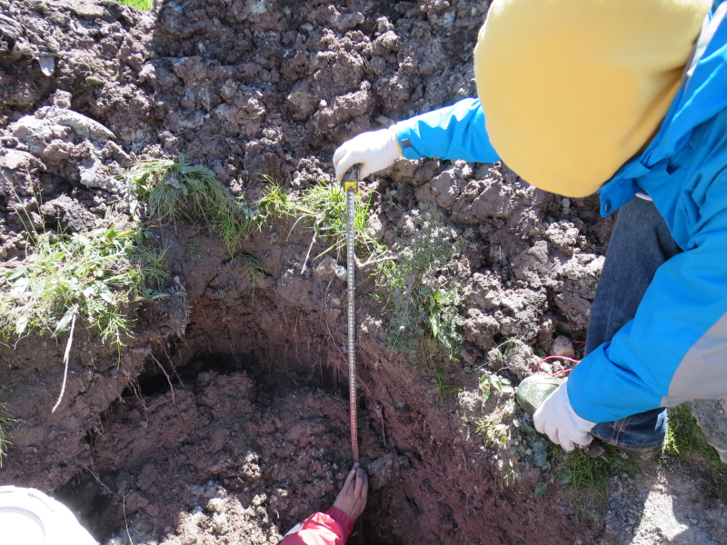
The monitoring data of soil temperature about a typical soil profile in Hongnigou catchment (August 2013-May 2014)

1. data description
Soil temperature monitoring in typical soil profile of hongnigou is divided into seven layers, with depth distribution of 20cm, 40cm, 60cm, 80cm, 120cm, 160cm and 230cm.The frequency of observation is 1 time /60 minutes.The time range of observation data is from August 25, 2013 to May 1, 2014.
2. Sampling location
The soil temperature monitoring point of the typical soil profile in the small basin of cucurbitou was set in the middle and lower part of the red mud ditch, and its geographical coordinates were 99 ° 52 '25.98 "E, 38 ° 15' 36.11" N.
3. Test method
Soil Temperature was observed using HOBO Pendant® Temperature/Light Data Logger 64k-ua-002-64 Temperature recorder.
Copyright & License
Data file name: from August 2013 to may 2014, the ground temperature data of typical soil profile in hongnigou is. Xlsx; it can be viewed and edited by WPS or excel.
Data Citations
Cite as:Sun, Z., Chang, Q. (2016). < b>The monitoring data of soil temperature about a typical soil profile in Hongnigou catchment (August 2013-May 2014)</b>2016. doi: 10.11888/Soil.tpdc.270523. (Download the reference: RIS | Bibtex )
Using this data, the data citation is required to be referenced and the related literatures are suggested to be cited.
Terms of Use
To respect the intellectual property rights, protect the rights of data authors, expand services of the data center, and evaluate the application potential of data, data users should clearly indicate the source of the data and the author of the data in the research results generated by using the data (including published papers, articles, data products, and unpublished research reports, data products and other results). For re-posting (second or multiple releases) data, the author must also indicate the source of the original data.
Related Resources
1.Physical and chemical index data of deep drilling strata in the middle reaches of Heihe River (2013)
2.HiWATER: Dataset of infrared temperature in Zhanye Airport desert
6.A survey construction of a water-saving society in Zhangye city, Gansu (2013)
7.The soil heat flux dataset in the lower reaches of Heihe River (2011-2013)
No record
No record
Comments
Sign In to add comments
Keywords
Geographic coverage
| Spatial coverage |
East:99.87369 South:38.26055 |
West:99.87369 North:38.26055 |
|---|
Details
- Format: EXCEL
- File size: 0.3 MB
- Browse count:9540
- Temporal coverage:2013-09-08 To 2014-05-15
- Access: Offline
- Updated time:2021-04-19
Authors
Resource Provider: SUN Ziyong CHANG Qixin

 Copyright ©right; 2017 - 中国科学院西北生态环境资源研究院 - 兰州数云软件科技有限公司提供技术支持