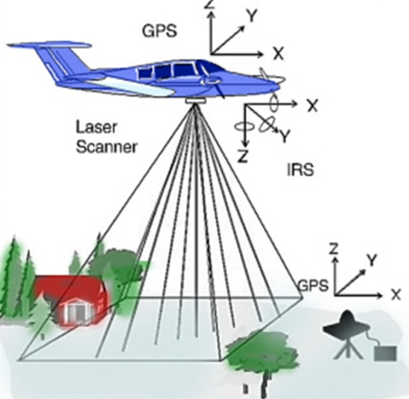
The parameters data of radar inversion in Tianlaochi Catchment in Qilian Mountain (2013)

Leaf area index (LAI), as a structural parameter of vegetation canopy, is an important input parameter for many inversion models such as energy and biomass inversion model. Firstly, vegetation points and ground points are separated in Terrasolid software. Then the transmittance of laser points is calculated, and the transmittance is the proportion of ground points to all points.
After laser pulse hits the canopy, some energy passes through the voids between branches and leaves and continues to move forward until the energy is blocked, so some laser points will finally reach the ground. In this study, the ratio of the energy passing through the avoids to the energy of the canopy is used as the Laser Penetration Index (LPI). The LPI of each sample point at each scale in the study area was calculated.
Data Citations
Cite as:Zhao, C., Ma, W. (2014). < b>The parameters data of radar inversion in Tianlaochi Catchment in Qilian Mountain (2013)</b>2014. doi: 10.3972/heihe.046.2014.db. (Download the reference: RIS | Bibtex )
Using this data, the data citation is required to be referenced and the related literatures are suggested to be cited.
Terms of Use
To respect the intellectual property rights, protect the rights of data authors, expand services of the data center, and evaluate the application potential of data, data users should clearly indicate the source of the data and the author of the data in the research results generated by using the data (including published papers, articles, data products, and unpublished research reports, data products and other results). For re-posting (second or multiple releases) data, the author must also indicate the source of the original data.
Support Program
None
Related Resources
1.Physical and chemical index data of deep drilling strata in the middle reaches of Heihe River (2013)
2.The leaf water potential dataset in the downstream of the Heihe River Basin (2012)
3.Grassland interception dataset of Tianlaochi watershed in Qilian Mountain
6.A survey construction of a water-saving society in Zhangye city, Gansu (2013)
7.Leaf area index of Qinhai spruce stand at 2800 m above sea level in Pailougou watershed (2011)
10.Data of SPAC system in the lower reaches of Heihe River (2012-2013)
No record
No record
Comments
Sign In to add comments
Keywords
Geographic coverage
| Spatial coverage |
East:99.98 South:38.5 |
West:99.73 North:38.33 |
|---|
Details
- Format: TIF
- File size: 49.0 MB
- Browse count:10957
- Temporal coverage:2018-11-23 To 2018-11-23
- Access: Offline
- Updated time:2021-04-19
Authors
Resource Provider: ZHAO Chuanyan MA Wenying

 Copyright ©right; 2017 - 中国科学院西北生态环境资源研究院 - 兰州数云软件科技有限公司提供技术支持