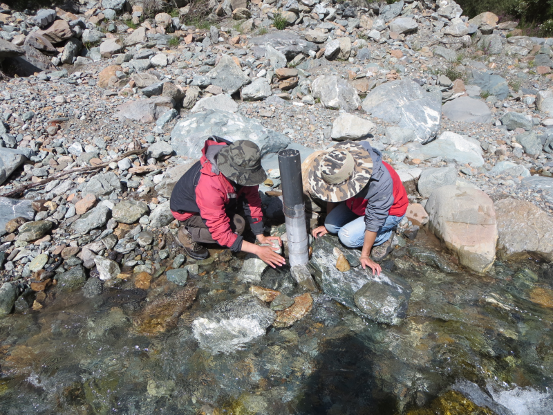
Monitoring data of river section flow and soil and groundwater temperature in hulugou small watershed (July September 2014-2015)

The data includes the discharge data of the outlet river of No.2 catchment area of hulugou small watershed from July 24 to September 11, 2014 / 2015.
Sampling location: the coordinates of river flow monitoring section are located at the outlet of No. 2 catchment area, near the red wall, with coordinates of 99 ° 52 ′ 58.40 ″ E and 38 ° 14 ′ 36.85 ″ n.
The soil temperature monitoring depth in hulugou is 20cm, 50cm, 100cm, 200cm and 300cm. The monitoring depth of groundwater temperature is 10m. The observation frequency is 1 time / 1 hour. The time range of observation data is from May 13, 2015 to September 5, 2015.
Sampling location: the soil temperature monitoring point in hulugou small watershed is located in the middle of the Delta, with the geographic coordinates of 99 ° 52 ′ 45.38 ″ E and 38 ° 15 ′ 21.27 ″ n.
Copyright & License
Name of data file: from July 2014 to September 2014, the section discharge of No.2 area of hulugou small watershed in the upper reaches of Heihe River is. Xlsx; it can be viewed and edited by WPS or excel.
Data Citations
Cite as:Ma, R. (2015). < b>Monitoring data of river section flow and soil and groundwater temperature in hulugou small watershed (July September 2014-2015)</b>2015. doi: 10.3972/heihe.012.2015.db. (Download the reference: RIS | Bibtex )
Using this data, the data citation is required to be referenced and the related literatures are suggested to be cited.
Terms of Use
To respect the intellectual property rights, protect the rights of data authors, expand services of the data center, and evaluate the application potential of data, data users should clearly indicate the source of the data and the author of the data in the research results generated by using the data (including published papers, articles, data products, and unpublished research reports, data products and other results). For re-posting (second or multiple releases) data, the author must also indicate the source of the original data.
Support Program
Exploring snowmelt runoff processes using isotopic and hydrochemical data in Heihe River headwater catchments
Related Resources
2.Grassland interception dataset of Tianlaochi watershed in Qilian Mountain
3.Datasets for the SWAT model in Heihe Rriver Basin
4.Thematic analysis data of Murray Darling basin Research in Australia (1912-2012)
5.10 m meteorological gradient data set of hulugou basin (2012)
6.The monitoring data of the groundwater level in the middle of Heihe River basin (2005-2007)
8.Ground water level dataset in Hulugou sub-basin of Heihe River Basin (2011)
No record
No record
Comments
Sign In to add comments

 Copyright ©right; 2017 - 中国科学院西北生态环境资源研究院 - 兰州数云软件科技有限公司提供技术支持