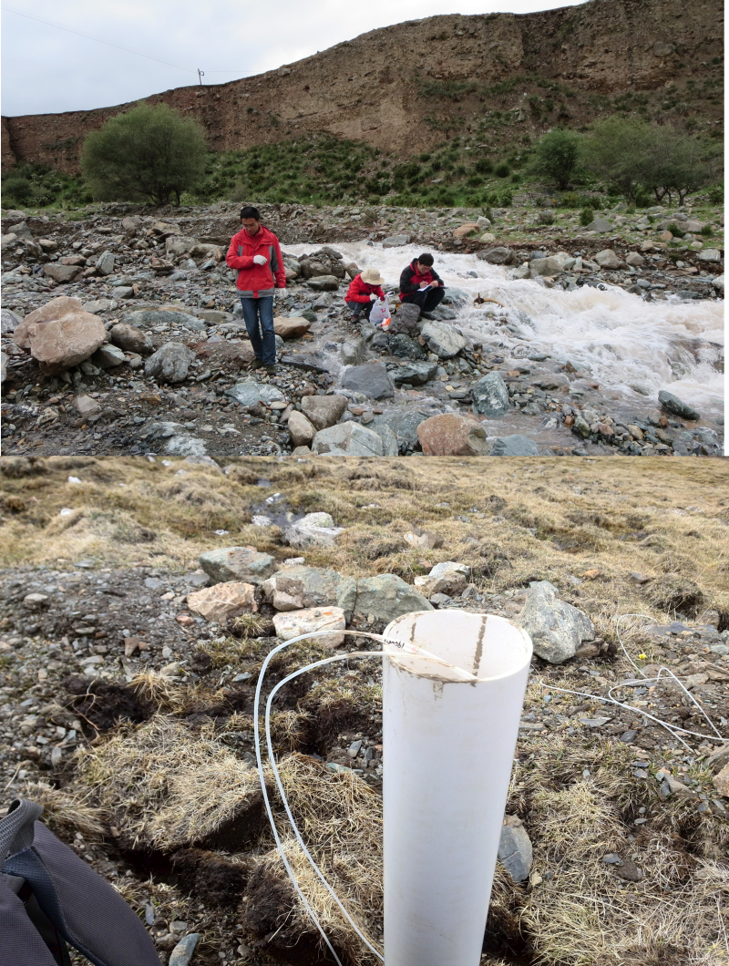
Cations and anions of river water and soil water of Hulugou basin in Heihe River basin (May 2013-april 2014)

1. Data overview:
The sampling time of this data is from May 9, 2013 to March 29, 2014.The sampling frequency is once a week.
The sampling point of the river is located at the outlet weir of the small haugou watershed in the upper reaches of the heihe river, with the latitude and longitude of 99 ° 52 '47.7 "E and 38 ° 16' 11" N.
The sampling location of soil water is 300m above the no. 2 meteorological station, and the lower soil profile is 99°53 '31.333 "E,38°13' 50.637" N in longitude and latitude.
2. Data content:
This data set contains the anion and anion values of the river at the outlet of the basin and the soil water at 300m above the no. 2 weather station.
Data acquisition means - anion values were determined by Swiss wantong model 761/813 ion chromatograph.Cation is to use the model to the United States thermoelectric IRIS Intrepid Ⅱ XSPICP - AES determination.
Copyright & License
File name: the data is stored in the form xlsx and the file is named as "the value of Yin and Yang ions in the river water and soil water in the cucurbit valley from May 2013 to April 2014. xlsx".</p><p>Data reading: Office, Wps and other Office software can be opened to read.
Data Citations
Cite as:Sun, Z., Chang, Q. (2015). < b>Cations and anions of river water and soil water of Hulugou basin in Heihe River basin (May 2013-april 2014)</b>2015. doi: 10.3972/hehe.008.2015.db. (Download the reference: RIS | Bibtex )
Using this data, the data citation is required to be referenced and the related literatures are suggested to be cited.
Terms of Use
To respect the intellectual property rights, protect the rights of data authors, expand services of the data center, and evaluate the application potential of data, data users should clearly indicate the source of the data and the author of the data in the research results generated by using the data (including published papers, articles, data products, and unpublished research reports, data products and other results). For re-posting (second or multiple releases) data, the author must also indicate the source of the original data.
Support Program
Exploring snowmelt runoff processes using isotopic and hydrochemical data in Heihe River headwater catchments
Related Resources
Comments
Sign In to add comments
Keywords
Geographic coverage
| Spatial coverage |
East:99.89204 South:38.23073 |
West:99.87992 North:38.26972 |
|---|
Details
- Temporal resolution: Daily
- Format: EXCEL
- File size: 0.02 MB
- Browse count:11161
- Temporal coverage:2013-05-17 To 2014-04-06
- Access: Offline
- Updated time:2021-04-19
Authors
Resource Provider: SUN Ziyong CHANG Qixin

 Copyright ©right; 2017 - 中国科学院西北生态环境资源研究院 - 兰州数云软件科技有限公司提供技术支持