HiWATER: Dataset of vegetation phenology in the Heihe River Basin

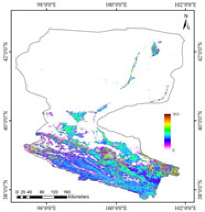
The vegetation phenology data set of Heihe River basin provides remote sensing phenology products from 2012 to 2015. The spatial resolution is 1km and the projection type is sinusoidal. MODIS Lai product mod15a2 is used as the phenological remote sensing monitoring data source, and MODIS land cover classification product mcd12q1 is used as the auxiliary data set for extraction. The product algorithm first uses the time series data reconstruction method (bise method) to control the data quality of the input time series; then uses the main algorithm (logistic function fitting method) and the backup algorithm (piecewise linear fitting method) to extract the vegetation phenological parameters, realizes the complementary calculation method, guarantees the accuracy and improves the inversion rate. The algorithm can extract up to three growth cycles in a year, each growth cycle contains six data sets, including the start point of vegetation growth, the start point of growth peak, the end point of growth peak, the end point of growth, the fastest growth and the fastest decline. At the same time, it records the growth cycle type, growth season length, quality identification, etc., a total of 25 data sets. The phenology product reduces the missing rate of inversion, improves the stability of the product, and the data set is relatively reliable with rich information.
Copyright & License
HDF format storage
Data Citations
Related Literatures:1. Li, X., Liu, S.M., Xiao, Q., Ma, M.G., Jin, R., Che, T., Wang, W.Z., Hu, X.L., Xu, Z.W., Wen, J.G., Wang, L.X. (2017). A multiscale dataset for understanding complex eco-hydrological processes in a heterogeneous oasis system. Scientific Data, 4, 170083. doi:10.1038/sdata.2017.83.(View Details |Download )
Cite as:Li, J. (2016). < b>HiWATER: Dataset of vegetation phenology in the Heihe River Basin</b>2016. doi: 10.3972/hiwater.284.2016.db. (Download the reference: RIS | Bibtex )
Using this data, the data citation is required to be referenced and the related literatures are suggested to be cited.
References literature
1.Li Xin, Liu Shaomin, Ma Mingguo, Xiao Qing, Liu Qinhuo, Jin Rui, Che Tao. HiWATER: An Integrated Remote Sensing Experiment on Hydrological and Ecological Processes in the Heihe River Basin. Advances in Earth Science, 2012, 27(5): 481-498. (View Details |Download)
2.Li X, Cheng GD, Liu SM, Xiao Q, Ma MG, Jin R, Che T, Liu QH, Wang WZ, Qi Y, Wen JG, Li HY, Zhu GF, Guo JW, Ran YH, Wang SG, Zhu ZL, Zhou J, Hu XL, Xu ZW. Heihe Watershed Allied Telemetry Experimental Research (HiWATER): Scientific objectives and experimental design. Bulletin of the American Meteorological Society, 2013, 94(8): 1145-1160, 10.1175/BAMS-D-12-00154.1. (View Details )
Terms of Use
To respect the intellectual property rights, protect the rights of data authors, expand services of the data center, and evaluate the application potential of data, data users should clearly indicate the source of the data and the author of the data in the research results generated by using the data (including published papers, articles, data products, and unpublished research reports, data products and other results). For re-posting (second or multiple releases) data, the author must also indicate the source of the original data.
Support Program
The CAS (Chinese Academy of Sciences) Action Plan for West Development Project
National High-tech R&D Program of China (863 Program)
National High-tech R&D Program of China (863 Program)
Related Resources
2.Physical and chemical index data of deep drilling strata in the middle reaches of Heihe River (2013)
3.The leaf water potential dataset in the downstream of the Heihe River Basin (2012)
5.HiWATER: the albedo in the middle reaches of the Heihe River Basin (Jun. 29, 2012)
6.HiWATER: Dataset of infrared temperature in Zhanye Airport desert
No record
No record
Comments
Sign In to add comments

 Copyright ©right; 2017 - 中国科学院西北生态环境资源研究院 - 兰州数云软件科技有限公司提供技术支持