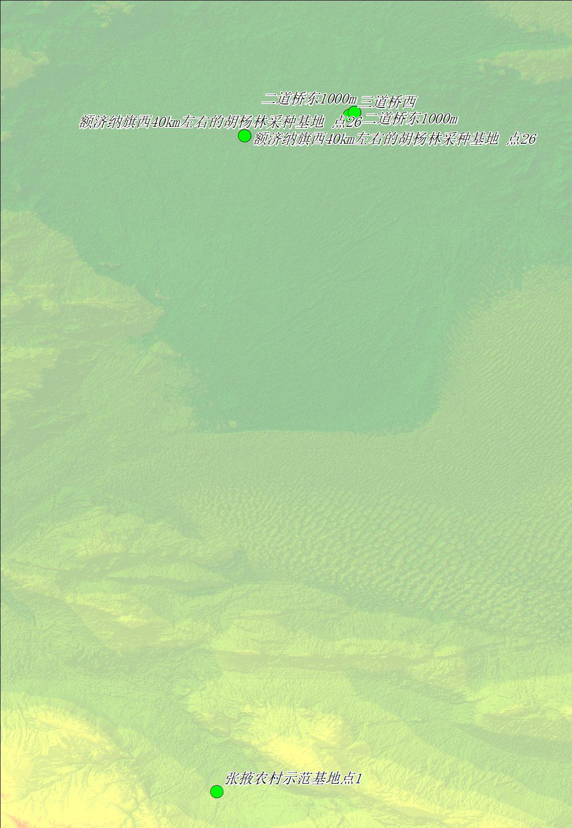
FAPAR field measured datasets in Heihe basin (2011)

This data includes the fAPAR and Lai data collected in 2011. The acquisition equipment is SunScan and LAI-2000. Among them, fAPAR measures 4 times of spread value. The sampling points are located in Zhangye agricultural demonstration base on July 30, 2011, next to national highway 312 in Ejina banner on August 4, sandaoqiao in Ejina banner on August 5 and Jiuquan Satellite Launch Center on August 6, 2011. Around Zhangye from July 4 to July 15, 2012.
Copyright & License
File name: the data is stored in the form of XLS and vector SHP. The file name "2011FAPAR ground data statistical results. shp" refers to the location point of FAPAR ground data in 2011, and "2011FAPAR ground data statistical results. xls" refers to the ground statistics of FAPAR in 2011.</p><p>Data reading: the vector SHP file can be opened and read by remote sensing software such as Arcgis, and the form XLS can be opened by Office scanning software.
Data Citations
Related Literatures:1. Fan, W. , Liu, Y. , Xu, X. , Chen, G. , & Zhang, B. . (2014). A new fapar analytical model based on the law of energy conservation: a case study in china. IEEE Journal of Selected Topics in Applied Earth Observations and Remote Sensing, 7(9), 3945-3955.(View Details)
Cite as:Fan, W. (2015). < b>FAPAR field measured datasets in Heihe basin (2011)</b>2015. doi: 10.3972/heihe.085.2014.db. (Download the reference: RIS | Bibtex )
Using this data, the data citation is required to be referenced and the related literatures are suggested to be cited.
References literature
1.Liu, Y. , Fan, W. , Xu, X. , & Chen, G. . (2013). A new FAPAR retrieval model for continuous vegetation. doi:10.1109/IGARSS.2013.6723470 (View Details )
2.Liao, Y. , Fan, W. , & Xu, X. . (2013). Algorithm of leaf area index product for HJ-CCD over Heihe River Basin. IGARSS 2013 - 2013 IEEE International Geoscience and Remote Sensing Symposium. IEEE. (View Details )
3.Fan, W., Liu, Y., Xu, X., et al. (2014). A New FAPAR Analytical Model Based on the Law of Energy Conservation: A Case Study in China. IEEE Journal of Selected Topics in Applied Earth Observations & Remote Sensing, 7(9), 3945-3955. (View Details |Download)
Terms of Use
To respect the intellectual property rights, protect the rights of data authors, expand services of the data center, and evaluate the application potential of data, data users should clearly indicate the source of the data and the author of the data in the research results generated by using the data (including published papers, articles, data products, and unpublished research reports, data products and other results). For re-posting (second or multiple releases) data, the author must also indicate the source of the original data.
Support Program
None
Related Resources
1.The leaf water potential dataset in the downstream of the Heihe River Basin (2012)
2.HiWATER: the albedo in the middle reaches of the Heihe River Basin (Jun. 29, 2012)
3.Grassland interception dataset of Tianlaochi watershed in Qilian Mountain
4.HiWATER: Dataset of infrared temperature in Zhanye Airport desert
6.Leaf area index of Qinhai spruce stand at 2800 m above sea level in Pailougou watershed (2011)
9.Data of SPAC system in the lower reaches of Heihe River (2012-2013)
No record
No record
Comments
Sign In to add comments
Keywords
Geographic coverage
| Spatial coverage |
East:101.115 South:38.8391 |
West:100.476 North:41.9815 |
|---|
Details
- Temporal resolution: Yearly
- Format: xls
- File size: 0.03 MB
- Browse count:8662
- Temporal coverage:2011-08-10 To 2011-08-17
- Access: Offline
- Updated time:2021-04-19
Authors
Resource Provider: FAN Wenjie

 Copyright ©right; 2017 - 中国科学院西北生态环境资源研究院 - 兰州数云软件科技有限公司提供技术支持