Doc value, ammonia nitrogen value, silica value, anion and cation value of soil water in typical soil profile of hongnigou (2012)

1. Data overview
The sampling period of this data set was from July 19, 2012 to August 17, 2012.
The location of the sampling point was near the original hongnigou outlet of the small cucurbitou watershed in the upper reaches of the heihe river, with the latitude and longitude of 99 ° 52 '25.3 "E, 38 ° 15' 37.97"
2. data content
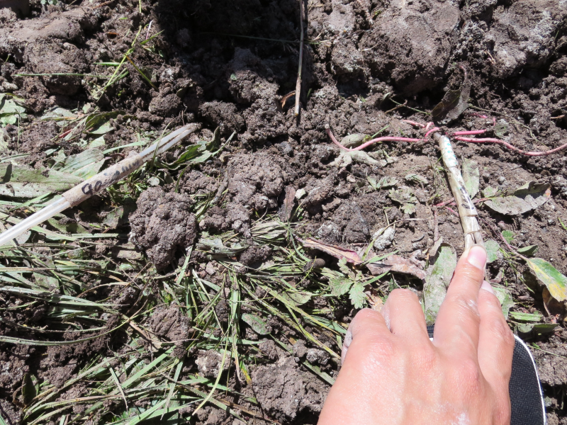
A soil profile with a depth of 2m was dug at the sampling point and a soil water collector was placed at depths of 60cm, 90cm and 140cm respectively.When soil water is collected by the soil collector, different depths of soil water can be obtained by extracting tubes of different depths with a 50ml disposable syringe.
This data set contains the DOC value, ammonia nitrogen value, silica content and anion value of soil water at three different depths.
Data acquisition method - ammonia nitrogen value was determined by using a hash DR2800 ultraviolet spectrophotometer;The DOC value was determined by the analytikjena multi N/C 3100 total nitrogen and carbon tester.The anion value was determined by Swiss wantong model 761/813 ion chromatograph.Cation is to use the model to the United States thermoelectric IRIS Intrepid Ⅱ XSPICP - AES determination.
Copyright & License
Name of data file: Doc value, ammonia nitrogen value, SiO2 value, anion and cation value of soil water in typical soil profile of hongnigou. XLS; WPS or excel can be used for viewing and editing.
Data Citations
Cite as:Sun, Z., Chang, Q. (2014). < b>Doc value, ammonia nitrogen value, silica value, anion and cation value of soil water in typical soil profile of hongnigou (2012)</b>2014. doi: 10.3972/heihe.056.2014.db. (Download the reference: RIS | Bibtex )
Using this data, the data citation is required to be referenced and the related literatures are suggested to be cited.
Terms of Use
To respect the intellectual property rights, protect the rights of data authors, expand services of the data center, and evaluate the application potential of data, data users should clearly indicate the source of the data and the author of the data in the research results generated by using the data (including published papers, articles, data products, and unpublished research reports, data products and other results). For re-posting (second or multiple releases) data, the author must also indicate the source of the original data.
Support Program
Exploring snowmelt runoff processes using isotopic and hydrochemical data in Heihe River headwater catchments
Related Resources
1.The leaf water potential dataset in the downstream of the Heihe River Basin (2012)
2.HiWATER: the albedo in the middle reaches of the Heihe River Basin (Jun. 29, 2012)
3.HiWATER: Dataset of infrared temperature in Zhanye Airport desert
7.HiWATER: Airborne CCD image data in Hulugou Catchment
10.The soil heat flux dataset in the lower reaches of Heihe River (2011-2013)
No record
No record
Comments
Sign In to add comments
Keywords
Geographic coverage
| Spatial coverage |
East:99.87712 South:38.25759 |
West:99.87092 North:38.26206 |
|---|
Details
- Format: EXCEL
- File size: 0.04 MB
- Browse count:8923
- Temporal coverage:2012-07-29 To 2012-08-27
- Access: Offline
- Updated time:2021-04-19
Authors
Resource Provider: SUN Ziyong CHANG Qixin

 Copyright ©right; 2017 - 中国科学院西北生态环境资源研究院 - 兰州数云软件科技有限公司提供技术支持