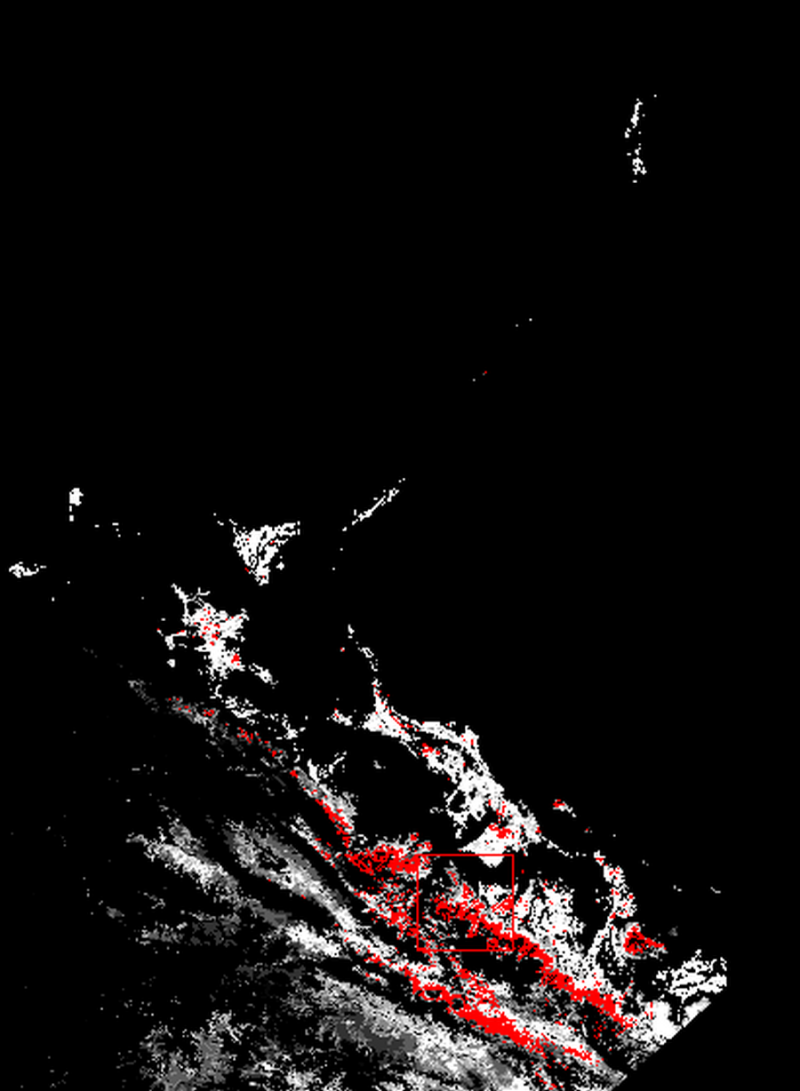
Heihe 1km monthly LAI production (2012)

Water scarcity,food crises and ecological deterioration caused by drought disasters are a direct threat to food security and socio-economic development. Improvement of drought disaster risk assessment and emergency management is now urgently required. This article describes major scientific and technological progress in the field of drought disaster risk assessment. Drought is a worldwide natural disaster that has long affected agricultural production as well as social and economic activities. Frequent droughts have been observed in the Belt and Road area, in which much of the agricultural land is concentrated in fragile ecological environment. Soil relative humidity index is one of the indicators to characterize soil drought and can directly reflect the status of crops' available water.
Copyright & License
. TIF format storage
Data Citations
Cite as:Fan, W. (2015). < b>Heihe 1km monthly LAI production (2012)</b>2015. doi: 10.3972/heihe.087.2014.db. (Download the reference: RIS | Bibtex )
Using this data, the data citation is required to be referenced and the related literatures are suggested to be cited.
References literature
1.Liu, Y. , Fan, W. , Xu, X. , & Chen, G. . (2013). A new FAPAR retrieval model for continuous vegetation. doi:10.1109/IGARSS.2013.6723470 (View Details )
Terms of Use
To respect the intellectual property rights, protect the rights of data authors, expand services of the data center, and evaluate the application potential of data, data users should clearly indicate the source of the data and the author of the data in the research results generated by using the data (including published papers, articles, data products, and unpublished research reports, data products and other results). For re-posting (second or multiple releases) data, the author must also indicate the source of the original data.
Support Program
None
Related Resources
1.The leaf water potential dataset in the downstream of the Heihe River Basin (2012)
2.HiWATER: the albedo in the middle reaches of the Heihe River Basin (Jun. 29, 2012)
3.HiWATER: Dataset of infrared temperature in Zhanye Airport desert
6.HiWATER: Airborne CCD image data in Hulugou Catchment
10.Leaf area index of Qinhai spruce stand at 2800 m above sea level in Pailougou watershed (2011)
No record
No record
Comments
Sign In to add comments
Keywords
Geographic coverage
| Spatial coverage |
East:102.1548642 South:37.7401842 |
West:97.3520258 North:42.6893038 |
|---|
Details
- Format: 1kmLAI反演结果tif文件
- File size: 22.0 MB
- Browse count:8857
- Temporal coverage:2012-01-10 To 2013-01-09
- Access: Offline
- Updated time:2021-04-19
Authors
Resource Provider: FAN Wenjie

 Copyright ©right; 2017 - 中国科学院西北生态环境资源研究院 - 兰州数云软件科技有限公司提供技术支持